Strengthening System Brings Overnight Severe Threat
Welcome to a new week and also to our third multi-day severe threat in as many weeks. Spring is pulling no punches this year as it keeps handing us active weather, both now and potentially in the medium-term.
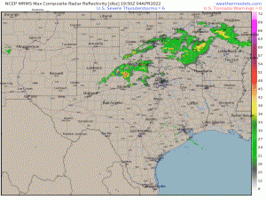
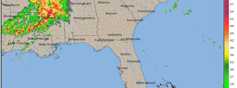
Today’s severe weather is already in progress as a few more discrete cells have reached/exceeded severe thresholds in the past hour or so.
Generally, the greater tornado threat in a set-up like this comes from the discrete cells in the front half of the event. Not so with tonight’s activity.
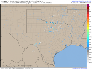
The biggest threat from earlier activity will be large hail thanks to steep lapse rates facilitated by cold air aloft. Damaging winds will be a concern as well, but not as much of a concern as they will be in the overnight hours.
The current convection is expected to grow upscale into a line by later this evening. Generally, this is when the main threat switches from hail and/or tornadoes to damaging winds. While the damaging wind threat will absolutely increase with gusts over 75 mph possible, so will the QLCS tornado threat.
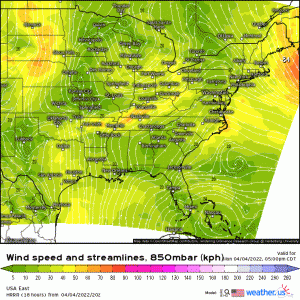
The surface low is forecast to deepen as it moves east over night. Consequently, the low level jet will strengthen, pulling in more moisture and increasing shear. Once the line arrives further east, it will find a much more favorable environment for severe weather than the one it started in this evening.
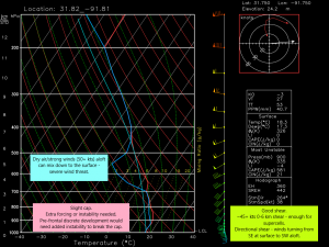
- Enough shear – 45+ kts of 0 to 6 km – to support and sustain supercells embedded in the line.
- Directional shear from SE at the surface to SW in the mid-levels to help spin up tornadoes.
- Dry air and strong winds (50+ kts) aloft. Dry air can entrain into the updrafts, bringing these mid-level winds to the surface. Strong enough for severe wind gusts 75 mph or greater.
- Slight cap requires extra forcing to break. This could come in the form of the cold front itself, along the lifting warm front, or if enough instability is added via the low-level jet for pre-frontal cells to develop ahead of the line.
The forecasted sounding above was taken from near the LA/MS border in the early morning hours (around 3/4/5 am). So, we can clearly see that the threat will only increase overnight instead of decreasing as is more common than not.
For this reason it is imperative to have ways to receive warnings that will, without a doubt, wake you. Be ready to act on your plan to shelter at a moment’s notice, especially since QLCS tornadoes are expected. These are known to spin up quickly and often have reduced lead time on their warnings. It may be prudent to consider sleeping in your safe space tonight if your area is expecting the early morning portion of the event.
This event will be on-going tomorrow morning and is expected to present a potent threat later in the day for a portion of the southeast. I’ll have a blog up addressing that in the morning, so stay tuned!
