Another Severe Threat Lurks
After a very busy start to the week, much quieter weather has settled in. Not to say that nothing is going on, but much less is going on than before. Don’t expect it to last, though.
If one thing is certain about spring, it’s that it can be a volatile season. Moisture is drawn north to meet with a fresh infusion of cold air, often resulting in severe weather. That’s right, we’re facing down the possibility of another multi-day severe threat next week.
As with the last threat, much is still unknown this far out, but we can at least recognize the pattern.
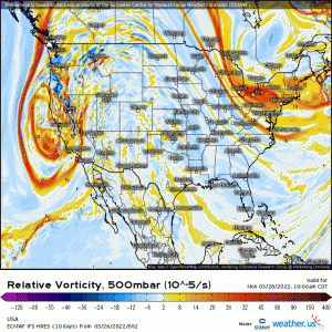
Like the previous threat, a deep-digging trough will “come ashore” early in the week. By later Tuesday, it arrives in the southern Plains states where it meets moisture being pulled north from the Gulf.
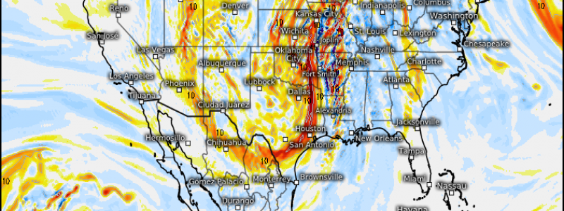
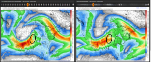
Of course there are discrepancies between models as we are still roughly 4 days out, but both the GFS and ECMWF identify an area of diffluence indicating rising air over central Texas, Oklahoma, and south Kansas. This is the area to watch for Tuesday.
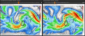
Models diverge some moving into Wednesday in that the ECMWF digs deeper than the GFS and defines slightly different locations, but the premise is the same. The trough becomes negatively tilted, indicating the potential for a rather potent round of severe weather.
Thursday’s potential is even less clear as models diverge even more, however, the SPC has noted a possibility for severe weather in the Mid-Atlantic.
Questions abound as to the quality of the available moisture (dewpoints in the low or upper 60s?), northern extent of the moisture, and storm mode, as is normal for this far out from the event. These issues will become clearer by Monday.
For now, just be aware of the Tuesday-Thursday time period next week holding a severe threat.
We’ll revisit this topic Tuesday morning to see how all of our ingredients have come together for expected initiation Tuesday evening.


