Multi-Day Severe Threat, Round 1
Spring severe season is really in full swing now as we have three days this week of convective outlooks and a potentially much more potent 3 day set up next week.
We already discussed the set up for next week in Tuesday’s blog. Today’s event is already underway. So this blog will focus on the potential for overnight tonight and tomorrow.
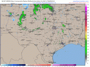
As mentioned, this evening’s event is already in motion, although just barely. Storms have just begun firing off the dryline. At the time of this blog, only one cell looks to have any teeth so far and it is mainly a hailer. However, it’s still early.
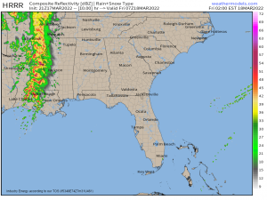
Storms are expected to keep firing into the evening hours before eventually congealing into a multicellular mass – more of a MCS (mesoscale convective system) than a QLCS – at least for the more northern part of the system.
On the southern end, the thermodynamics will be much better.
Dewpoints in the 60s, a little more CAPE to work with, shear on the order of ~40 kts, surface winds backing from the SE, and steep lapse rates could lend to the formation of more discrete cells, or perhaps multicellular clusters, versus a solid line.
All the parameters mentioned above mean that all hazards are on the table: damaging winds, a few tornadoes (potentially strong), and large hail.
This threat, for the overnight hours at least, will be most likely for southern Louisiana and southern Mississippi.
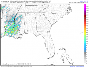
Using the Updraft Helicity parameter, we see the storms with potential to rotate, be it as a supercell or producing a tornado, stay confined further south. As mentioned above, this is where the better thermodynamics are.
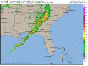
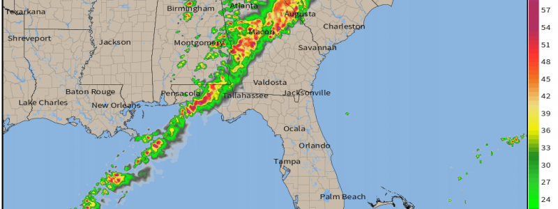
Of course, weather doesn’t just stop at sunrise. The storms are, however, forecast to weaken some as we near dawn and lose any remaining instability. But, as the sun rises and heats the area ahead of the ongoing storms, intensity is forecast to ramp back up by late morning or early afternoon.
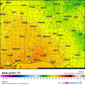
By mid morning, areas along the Gulf Coast ahead of the storms will be feeling summer-like with dewpoints pushing into the 70s. Plenty of moisture generally means plenty of instability for storms to tap.
As the broken line moves into moisture and instability-rich air, storms could become rather potent.
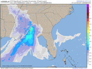
In addition to hail, a few strong tornadoes are possible, especially along and just north of the coastal areas. This threat will persist through the afternoon hours, pushing east into the Florida panhandle before diminishing in the evening.
Normally, this would be the end of the threat, period. But not this time. A secondary, but CONDITIONAL threat exists for the late afternoon/evening hours for the Tennessee and Ohio Valleys.
The morning round of showers and storms should stabilize the atmosphere. We’ll then be dependent on breaks in the clouds and any resultant heating to add back instability to fuel the second round.
Assuming that occurs, a second round of storms could begin firing ahead of the actual cold front.
These storms are expected to be widely scattered, forming mainly where there is enough instability to fuel them. If they form, however, they could pack quite the punch. Ample shear, cold air aloft thanks to the approaching cold front leading to steep lapse rates, and a strong low-level flow means that large hail and, potentially, a few (strong?) tornadoes could occur.
Tomorrow is definitely a day to remain on guard. If you’re in the Tennessee/Ohio Valleys, don’t assume the threat is over after the morning round of storms. If the sun reappears in the early afternoon, assume you will have a risk for another, potentially potent, round in the evening hours.
As this is an overnight/early morning event for some, have ways to receive warnings that will wake you if need be, especially nearer to the Gulf Coast. Locations further east, stay on guard and have ways to receive warnings as well.
A severe threat exists for the Mid-Atlantic and Southeast on Saturday as well. Sunday is expected to be a quiet day before we roll into a 3 day severe set up early next week. Check back here on Sunday for an update on that situation!
