Another December Severe Threat This Weekend
A potential system that has intrigued me since it appeared on the models last week seems likely to deliver another round of severe weather to the mid and deep South this upcoming weekend. There are a few uncertainties that remain as we are still roughly 3 days out, but let’s at least look at the set up today to get a feel for it.
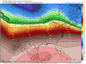
A trough forecast to come ashore tonight/tomorrow on the West Coast will work its way east through the remainder of the week. As it descends the Rockies, it undergoes cyclogenesis and a low will form decently far north, eventually skimming over the Great Lakes region. Ahead of this trough, ridging will be in place over much of the mid and deep South.
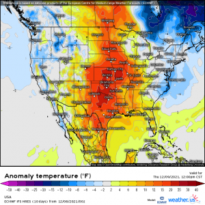
By Thursday afternoon, above-average temperatures are making a return east of the Rockies.
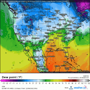
Of course, with a strong southerly low level flow under the ridge and a deepening low moving east, especially on Friday, this results in moisture streaming northward.
So now let’s discuss the uncertainties.
- First is the northern extent of the moisture. How far north do dewpoints in the upper 50s and low 60s – which is really the threshold for there being enough instability to facilitate severe weather – make it?
Models generally suggest these values reaching into at least Southern Illinois/Indiana, if not a bit further north. This will be something to monitor in the next few days and will decide just how far north the risk area is extended.
- Second is the degree of available instability. Obviously, more CAPE means a greater severe potential. However, we’ve seen some wicked weather occur with only marginal levels of CAPE before, so this isn’t necessarily a deal breaker.
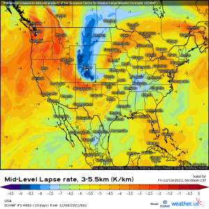
Though dewpoints in the upper 60s/creeping towards 70 will be in place, especially over the southern regions, lapse rates aren’t currently forecast to be the best.
We need that cold air aloft and serious cooling with height for storms to really strengthen.
- A third issue is timing. There is some model disagreement at the moment on just when the main convection initiates.
An earlier initiation would likely mean the potential for more widespread, stronger convection as it would still have access to any instability day time heating has been able to add.
An after-dark initiation would likely have reduced amounts of instability available with the loss of day time heating.
- And finally, a fourth issue is the eastern extent of the severe threat.
How much instability remains in the east to facilitate severe weather? What is the timing of the arrival of the line? If day time heating is able to add some instability on Saturday before the line arrives, the severe threat could potentially be greater.
If the line swings through in the morning hours, the threat may be diminished a bit.
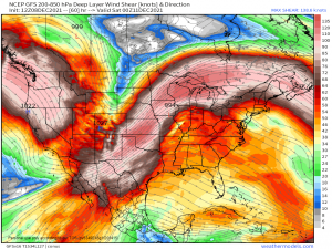
One thing this event does having going for it, however, is shear.
Deep layer shear on the order of ~50 kts is forecast.
Even if instability remains on the low end, this kind of shear can make up for what’s lacking. As I discussed last Friday before the previous severe threat, High Shear, Low CAPE events can and do often produce. Last weekend’s event was considered one of these and still managed to produce a few tornado warnings and multiple reports of damaging winds.
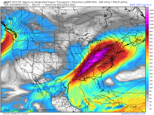
One other thing I’d like to mention here is just how much moisture will be accompanying this system.
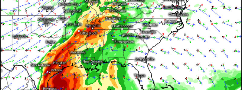
As it pulls moisture from both the Pacific and the Gulf, that moisture will converge along the front. Flash flooding is a hazard we’ll have to keep a close eye on. The WPC has already issued a marginal risk for excessive rainfall for roughly the Ohio and mid Mississippi valley regions which reinforces my thinking on this.
We’ll have to see how it evolves and what the storm motion becomes. Greater risk for flash flooding will materialize if the storms propagate parallel to the frontal boundary. If they move perpendicular (more west to east), then there may not be as great of a threat.
Alright, I know that was rather long so lets summarize:
Severe storms are possible Friday into Saturday. Hazards currently include damaging winds, a few tornadoes, and perhaps some isolated flash flooding. There are still a good deal of unknowns in play with this system so we will need to monitor the evolution of the forecast leading up to the event.
Expect a blog from me either late Friday or Saturday morning once all these issues are hammered out and we have a solid forecast.
