Severe Today, Cold This Weekend
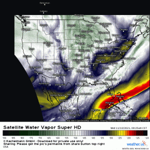
A longwave trough, evident in Water Vapor imagery this morning, is getting ready to roll through the Plains states.
Severe weather is forecast ahead of the cold front associated with the trough later today.
Already, the pieces are moving into place.
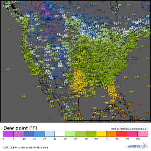
Moisture return is underway as dewpoints in the 60s are creeping up into Oklahoma and Kansas.
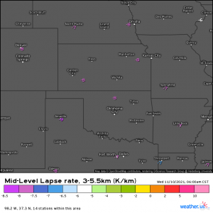
Steep mid-level lapse rates are already in place over the Plains.
These will help facilitate the risk for large hail in any discrete supercells that form early in the event.
A strong low level jet and surface winds backing from the SE also mean that there is at least a small risk of tornadoes – especially early in the event from north central Texas through eastern Kansas.
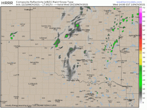
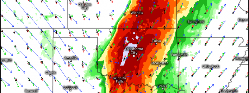
As for timing, here’s a look at simulated radar:
Discrete supercells are expected to be able to form at the beginning of the event, roughly around 22Z, or 4 pm CST. Any tornado or large hail threat will be most prevalent in this period. Upscale growth into a MCS is expected with time. The primary risk will then become damaging winds, though a tornado is still possible with any “kinks” in the line. Threats are expected to lessen as the line enters Arkansas and Louisiana due to conditions being less conducive – not as much instability, etc.
As this is will occur in the late afternoon and sunset is now ridiculously early, this could technically be classified as a nighttime event. It will be dark and hard to see any approaching hazards. Be sure to have multiple ways to receive warnings this evening.
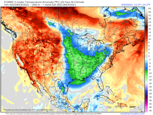
After this front passes to the east, it will begin to drag in more cold air, leading to well below average temperatures for the Eastern US.
We could be talking about a decent chance for snow for the Great Lakes and Midwest later this weekend. More on that in Friday’s blog!
