The Pacific Wave Train Keeps Weather Active
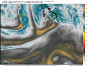
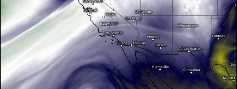
We’re looking to the West Coast today as a conga line of disturbances is set to affect the region.
We’ll talk about the first and second systems in this blog since they’re shaping up to have some potent impacts in the form of heavy rain, heavy snow, and gusty winds.
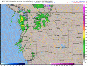
Impacts have already begun as the first disturbance is in the process of “coming ashore.” Heavy rain is currently falling along both the Washington and Oregon coasts with lighter precip inland and as far south as northern California. And, of course, mountain snow is present in the highest elevations.
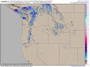
Snowfall will stay confined to peaks for now. Cooler air filters behind the first system, but ahead of the next system, which is forecast to arrive overnight. That snow line will then drop into lower elevations, perhaps as low as 3,500 ft.
The Cascades stand to gain potentially over 2 ft of snow on the highest elevations to a few inches in the lower elevations from the first two back-to-back systems. Very beneficial for building up that mountain snow pack that was so severely depleted by this summer’s record heat.
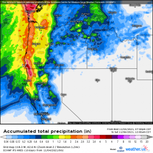
Rainfall looks fairly significant as well, especially along the coast where the natural lift provided by the coastline “wrings out” all that extra moisture.
This region has received quite a bit of rain recently which has pushed a few rivers into flood. Rain from these back-to-back systems could cause those same rivers to run high again, if not approach action or flood stage. It’s something to be aware of, at least.
While both rain and snow are beneficial in the long run as they serve to ease the drought and build a snow pack to provide meltwater during the spring thaw, the winds that come with these systems are not.
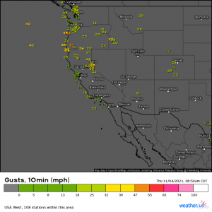
Winds are whipping already and scattered gusts of up to 70 mph are possible as the system continues to come ashore. Wind advisories and high wind warnings are up, mainly for the mountains but also along some of the coastal regions, specifically in southwestern Oregon.
We mentioned the recent heavy rain earlier. Trees fall more easily in saturated ground so scattered power outages aren’t out of the question should this occur.
Be sure to be prepared in the event that your power does go out. Have alternate sources of light and heat, along with a supply of foods that don’t need to be refrigerated or cooked.
