November Chill Settles In
So, who’s ready for some truly chilly weather?
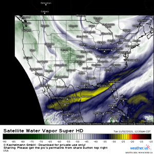
Some people are getting in on the fun before others as a shortwave pivoting around a stronger low way up in northern Canada is facilitating some lake effect snow. Yes! Snow!
Winds out of the WNW are flowing in a short fetch across the Great Lakes.
For a refresher on just how the Lake Effect Snow Machine gets going, head on over to this blog I wrote earlier in the year and read the second half. Long story short: when cold air blows over warmer water, the water heats the air from below. This forces the air to rise and create convective showers that precipitate out as snow where the temperature profile allows.
This process is finicky and requires a very specific environment to occur. As conditions are marginal at best, and not conducive at all at worst, only the lucky few are seeing snow right now.
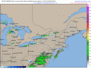
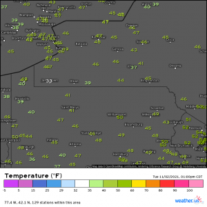
Look hard and you can find it. Yep, at the moment, it’s basically just Jamestown, NY (and immediate areas) and any locally higher elevations that don’t have an observation station.
These convective showers will keep rolling off the lakes in the coming days as that WNW flow persists. Whether they are rain or snow will depend on the temperature fluctuations. Snow will be more widespread as temps drop in the evening/overnight hours and more isolated as they warm through the days. Where it persists, though, a couple inches of accumulation is possible.
The Northeast isn’t the only one who gets in on the fun cold weather.
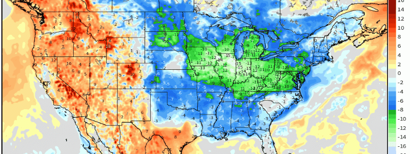
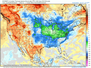
As high pressure settles in behind the departing shortwave trough, it will funnel some rather chilly air into the Plains, Midwest, and even the Southeast. Temperatures 10 to 15 degrees below average are likely.
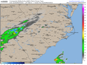
Combine this cold air with a little moisture passing over the Southern Appalachians late Wednesday/early Thursday and we’ve got the ingredients for the first high-elevation snowfall of the season.
While no significant accumulation is expected, I know first-hand as a resident of the Tennessee Foothills that the first mountain snowfall is always extremely exciting. It’s a concrete indicator of the changing seasons. Plus, these mountains look fantastic with snowy peaks.
We get more than a day or two out of this cold blast, unlike the others. Chilly temps will linger through the weekend before warming up again at the start of next work week. Enjoy!


Ein Kommentar zum Beitrag