Another Severe Event Likely For The Plains States Tuesday
Well, the severe “second season” seems to be in full swing as the Plains will face down yet another threat for this afternoon/evening/overnight.
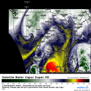
This morning’s Water Vapor imagery gives us a fantastic look at the powerful trough that will be responsible for said severe weather later today. Currently, it is facilitating heavy snow over the Rockies. It will also enhance fire weather conditions in the California valleys and the valleys east of the Rockies later today before affecting the Plains states.
Today’s threat will likely be somewhat less potent than what we saw on Sunday, however, and here’s why:
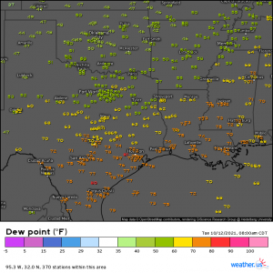
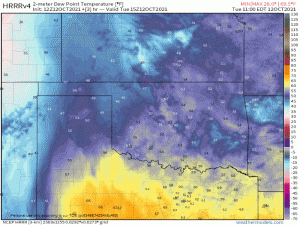
Moisture return. At this point in the day on Sunday, dew points in the 70s were already crawling toward Oklahoma, which was already experiencing widespread dew points in the 60s. Sunday’s front flushed out much of that moisture and it hasn’t had much of a chance to recover just yet.
Of course, as the LLJ intensifies ahead of the front, it will help to advect in moisture that is currently lacking. It doesn’t appear to really strengthen until after sunset, however. By that time, we’ve lost any extra destabilization via daytime heating. So, between lack of antecedent moisture and poor timing, this doesn’t appear to be quite as potent of a threat as Sunday was.
That does not mean that it doesn’t have potential, though. The hazards these storms bring are going to depend greatly on initial storm mode and how quickly upscale growth occurs.
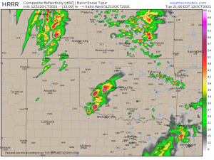
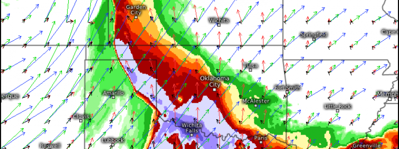
Some convection will occur earlier in the afternoon. The greater forcing arrives later, toward the evening hours, and this is when severe weather is expected. If storms are able to kick off just before/just after sunset as the HRRR suggests, they could take advantage of the residual daytime heating before nighttime cooling occurs. This could result in a few powerful discrete supercells. SPC mentions the possibility of large hail and a few strong (EF2 +) tornadoes if this is the scenario that plays out.
Upscale growth is expected rather quickly as daytime heating is lost. The primary threat then transitions mainly to damaging winds, though embedded rotation in the QLCS could lead to a few tornadoes as well as conditions remain favorable.
Timing is less that ideal as this event will continue into the overnight hours. I would suggest, once again, that those on the eastern periphery of the defined risk area consider sleeping in their safe spaces to reduce the time between being woken and scrambling to shelter if a warning is issued. Be sure to have multiple ways to receive warnings, including at least one that will wake you if need be.
To summarize: Severe weather is possible for the Plains states this evening/overnight. All hazards are possible, including a few strong tornadoes if discrete supercells are able to form early in the event. Have a plan to shelter and be ready to use it if a warning is issued.
Stay safe!
