Fire Weather Conditions Likely For Parts of the Northern Plains
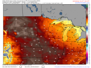
I’m starting to feel like a broken record this season but, it is HOT up north. Specifically in places like Montana, North Dakota, and South Dakota. Places you typically think of as being cold.
As a ridge is squished in between two troughs (one in the Pacific Northwest and the other in the Northeast), it is expanding into Canada and warm air is streaming northward. Highs 20 to 30 degrees above average for this time of year are forecast. Yikes.
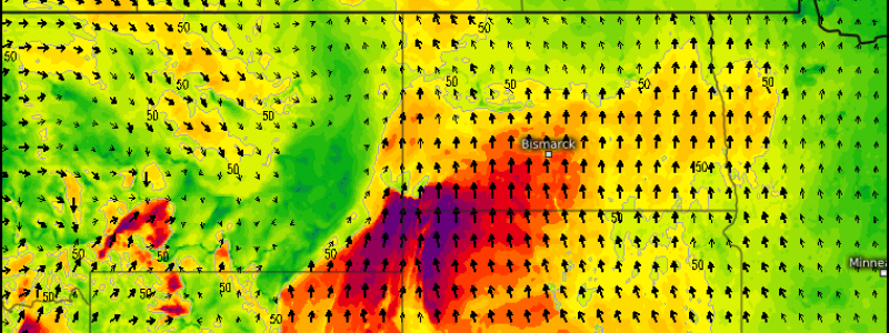
Now, heat is heat. Being hot for a few days isn’t ideal, but it’s doable, especially considering the heat already endured this past summer. To add to this, a low is approaching from the west. Gusty, downsloping winds not only aid in heating the air, they also dry it.
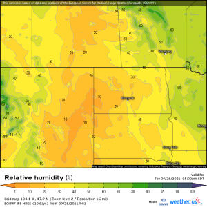
The downsloping winds may briefly bring the relative humidity down to near/less than 10%, especially in the lee of the Rockies. That’s seriously dry.
Speaking of which, the air isn’t the only thing that’s dry in this area.
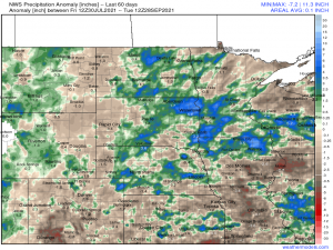
If you’ll compare the Precip Anomaly map to the forecast Relative Humidity map, you’ll notice that the areas with the lowest forecast RH are also abnormally dry. Over the last 60 days, some of this area is experiencing a rainfall deficit of near/over one inch.
By now, these ingredients should be ringing a bell and you should be able to guess where I’m going with this blog.
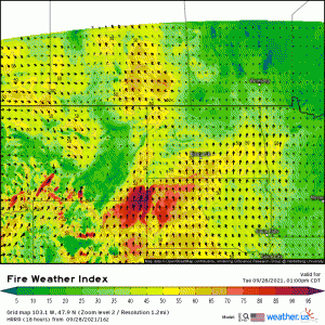
Unfortunately the answer is indeed Fire Weather. Conditions will be conducive to the rapid spread of any new/existing fires through tonight before a low arrives from the west. Avoid any activities that may spark fires today if at all possible.
Hang in there a little longer. Cooler temperatures, and perhaps a little rain, arrive later tomorrow.
