Feels Like Fall: Changes In the Forecast
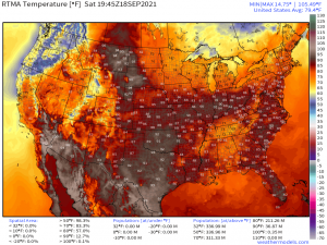
Take a look at the current temperatures.
Rain-cooled airmass in Tennessee/Alabama aside, you’d never know from this map that astronomical Fall is a mere 5 days away. Obviously just because it’s about to be fall doesn’t mean the atmosphere magically delivers those rustling leaves and sweater-weather temperature.
But this year, Fall has decided to show up in a big way. Our first powerful fall cold front is inbound and, coincidentally, will breeze through on the actual first day of Fall.
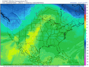
The upper level trough that is currently delivering rain and much cooler temperatures to the Pacific Northwest will move east as we begin a new week. As it does so, the trough will separate from the jet stream, effectively becoming a cut-off low. This upper level low, basically a bowling ball of cold air, will bring us the coolest, driest air we’ve seen since spring.
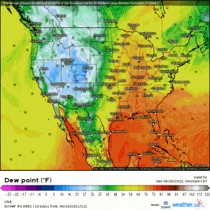
Need a visual?
Forget the pumpkin spice everything, THIS is how we know fall is here. The first time those steamy dew points are swept back down to the tropics where they belong, we know the seasonal change is underway. It rarely lasts at first, but let’s just focus on it actually happening.
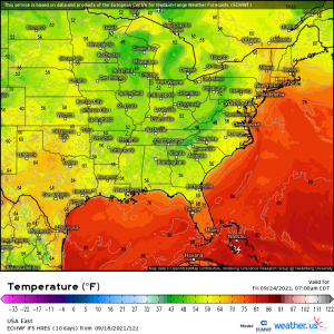
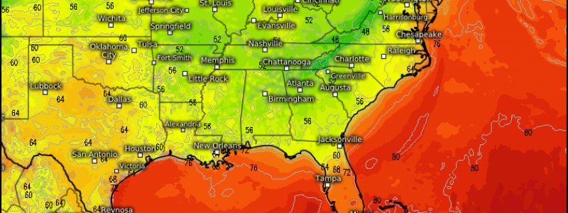
As we’ve seen, this front will knock the humidity levels down quite a bit. But what about the temperatures?
Exciting, isn’t it? Keep in mind we’re still 6 days out, so this isn’t the final forecast by any means. However, widespread lows in the 50s and even 40s seem to be likely – possibly all the way down to the Gulf coast!
Day time highs look to hover in the 70s (south) and 60s (north) for at least two days post-front.
I felt like giving cool-weather lovers something to look forward to while we deal with the next 4 days or so of the same-old, same-old.
Weekend Outlook
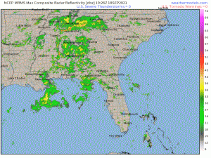
As far as notable weather goes, Nicholas, or rather what’s left of it, is still hanging out in the deep south. It will intermittently spin up bands of showers and storms into the southeast states.
Some of these bands could be particularly slow-moving. With PWATs above 2″ for much of the southeast, these near-stationary bands could cause scattered flash flooding issues. This will remain the norm until the front moves through Wednesday into Thursday and finally flushes Nicholas’s moisture out.
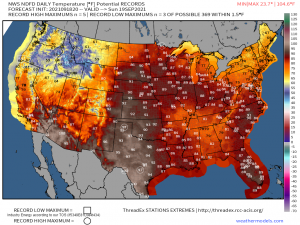
Above average temperatures will prevail in the Great Lakes region and parts of the Northeast through the weekend as well.
A few scattered record highs in Minnesota, Wisconsin and the Upper Peninsula of Michigan are possible tomorrow.
Enjoy your weekend!
