Tropical System Could Bring Substantial Rain to West Gulf Coast
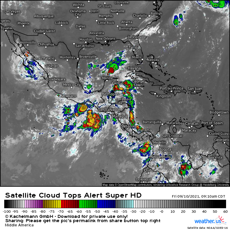
A broad zone of thunderstorm activity currently located just north of Honduras could bring heavy rain and freshwater flooding to parts of the West Gulf Coast, potentially including the Houston metro, next week.
The disorganized convection, currently labeled as an invest by the National Hurricane Center, may end up evolving into a tropical depression over the next few days as it drifts amidst warm water and low to moderate wind shear. At least for now, though, the storm is messy, anemic, and overall disorganized. If you told me there’s an invest somewhere in this image, I’m not sure if I’d get its location right.
Something that may come as a surprise to folks who have been reading my writing for a while- we really don’t care whether the invest organizes into a tropical cyclone or not, and so there’s really no need to figure out the future of the storm’s interactions with shear, oceanic heat, etc. This is because land will disrupt the cyclone to such an extent that significant intensification appears vanishingly unlikely.
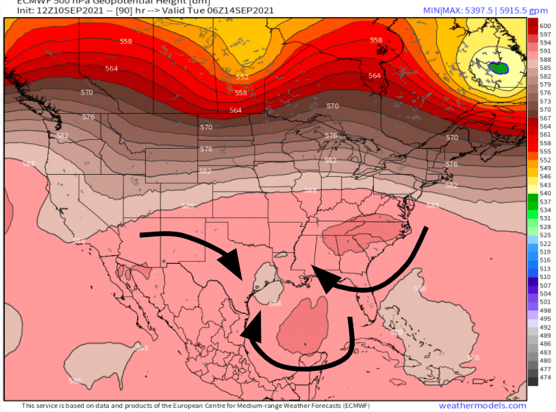
But our little invest may manage to have impacts dramatically outsized to its intensity. This could come as the deep tropical moisture associated with the messy storm interacts with a Gulf front, a system rendered effectively static by dueling flow from flanking midlevel ridging.
Tropical moisture interacting with a source of frontal lift forced to move extremely slowly? Near the highly populated, flood-vulnerable West Gulf coast? Uh oh!
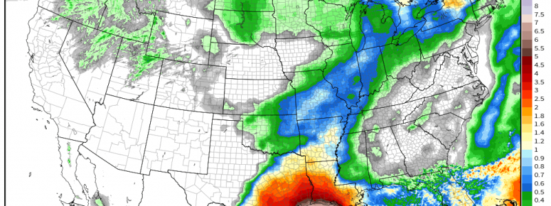
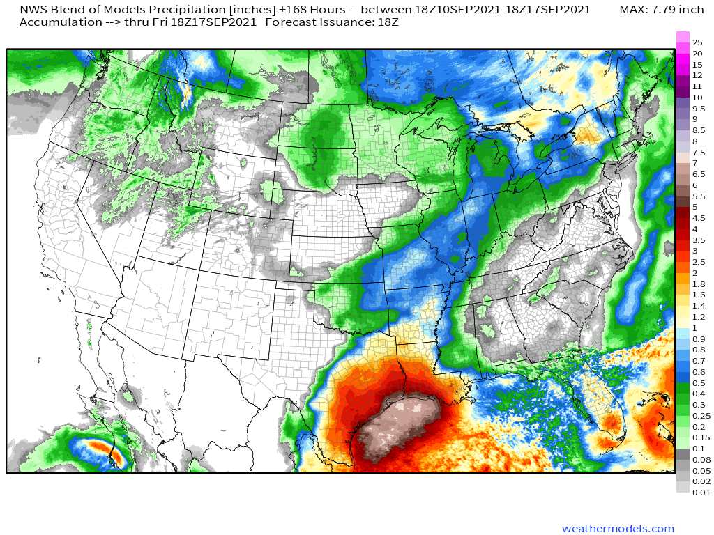
The heavy rainfall threat that seems sure to develop is widely depicted across model suites and official forecasts already, with additional refinement (and a grasp of locally higher totals) likely by the end of the weekend. For now, though, output is already quite dire: just check out the national blend of model forecast, which does a good job demonstrating uncertainty for such a far-out event.
That’s a lot of precipitation! In all likelihood, such widespread rain to such a degree will lead to considerable flash flooding, especially where convective training allows totals to end up locally higher than depicted here. If you live in coastal Louisiana and Texas, the time to begin preparing is now.


