Flooding Concerns Continue As West Monsoon Drenches
A quick blog today!
It’s summer, and a powerful midlevel ridge is making nationwide weather feel… just right. The Central and Southeastern US are suffocating under a regime of excessive heat and humidity, significant thunderstorms have produced tornadoes and damaging wind from the upper Midwest through the Northeast, and parts of the West coast are baking under a dry, oppressive furnace.
One other aspect of the summertime ridge that’s been all but absent the last couple years is also in full force this week: the North American Monsoon.
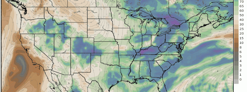
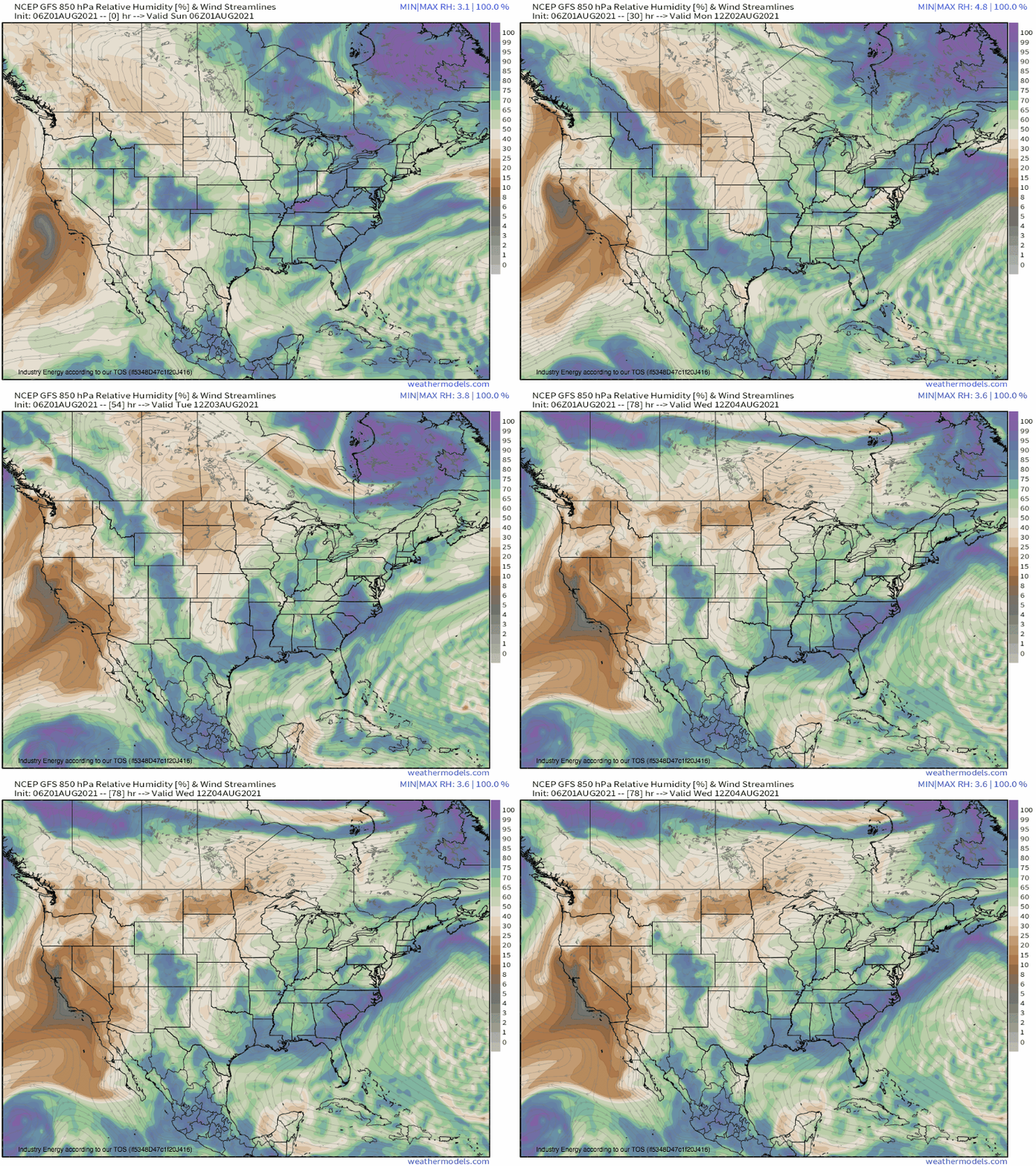
Weaknesses along the western flank of the perennial ‘death ridge’, which is typically pretty well stacked vertically, allow an influx of moisture throughout the atmosphere to drain north along the strong peripheral flow.
As this occurs, it interacts with a combination of topography, differential heating gradients (which typically result from topography in this part of the country), and the large amount of instability possible given the combination of excessive desert heat with deep moisture. The result is often scattered to widespread thunderstorms, which deliver most of the yearly rain in the Southwest and a significant portion of it further north.
This is always an important part of the region’s water cycle, but it’s unusually crucial this year. As has been much written about by us and others, two years of lackluster monsoon seasons and below average atmospheric river seasons have conspired to leave much of the West in substantial drought, which extreme heat is currently worsening rapidly in places that aren’t seeing rain. Luckily, the southern edge of the Southwest has seen substantial improvements to drought due to a monsoon that has, thus far, been very active. Today and tomorrow, the ridge-advected surge of moisture, albeit somewhat muted, will serve to edge drought slightly lower across the plagued interior Northwest.
Of course, this relief doesn’t come without a disclaimer. Does it ever?
As to the Southwest, the surge of moisture into areas with dry soil and weird topography will combine with a ‘flashy’ precipitation mode dominated by thunderstorms to produce a higher than normal risk for flash flooding, even in places that don’t pick up prolific amounts of rainfall. Those near Idaho, western Montana, northern Nevada, and far west Wyoming should pay special attention to weather sources over the next 48 hours and remember to turn around, don’t drown when faced with flooding.


