Fire Weather Concerns for the Pacific Northwest
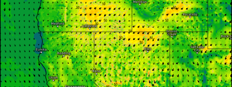
The often-gloomy Pacific Northwest experiences a different side of the weather today as strong high pressure builds over the general area of Wyoming under a ridge in the west. The strengthening high and associated circulation around it will allow for downsloping, drying winds translating into an offshore flow in central/northwestern Oregon and southern Washington.
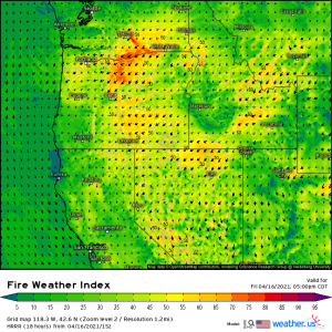
Warm, dry, windy conditions usually lead to… you guessed it: fire weather!
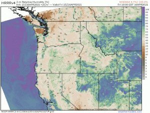
Winds from the northeast with gusts up to 20 mph at times, or possibly more over favorable terrain, will serve to dry this area, reducing relative humidity from currently in the 50 to 60% range down to the 10 to 20% range.
Though fuels (vegetation) are relatively moist in the higher elevations, the concern is for the finer fuels in the lower elevations which have not received much rain in the past few weeks. These could ignite quickly and initiate rapid spread. The greater danger at the moment seems to be focused in the valleys to the east of the Cascades, though the valleys west of the Cascades also retain a somewhat lower threat.
The fire threat should abate after sunset with the loss of daytime heating. It’s a beautiful day in the Pacific Northwest today with temperatures pushing the 70s in the valleys, so the urge to get outside and enjoy it will likely be strong. By all means, enjoy the day! Just remember to recreate responsibly and avoid any activities that may spark a fire.


