Storms Weaken But We Retain a Severe Threat Through the Evening
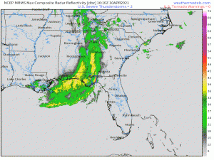
Good Saturday, everyone. Just a short post today to kind of update and outline the threat currently posed by our long-lived squall line and what to expect this evening.
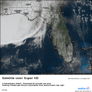
The line has weakened somewhat since this morning when it plowed through the MS/AL/FL panhandle beaches with intense winds, tennis ball-sized hail, and even a waterspout or two that managed to come ashore and transition into a tornado. There are currently no warnings associated with this complex.
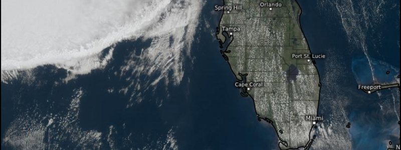
Ahead of the line, the sun is out and dewpoints are pushing 70 from the Tampa area south. It is possible that, as the complex moves into the area, we could see a slight re-strengthening. Damaging winds and large hail could be possible. Should embedded cells in the line be able to gain strength once again, I would mention the possibility of some of the stronger cells over warmer water perhaps being able to spin up a waterspout or two which could then be brought to shore with the movement of the storm. But then, that’s only if we see an uptick in severity. Overall, though, the complex is expected to continue trending weaker into the evening.
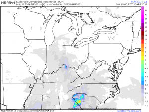
Elsewhere, it would be wise to watch both the Ohio Valley and the Carolina low lands for storm activity through the afternoon.
Though neither situation is ideal for severe weather, in the Ohio valley: low-topped supercells could form where surface heating through breaks in the cloud cover is able to happen. Otherwise, relatively cool temperatures will limit development. Still, small pockets could see a brief strong storm with damaging winds. The overall tornado threat is very low.
In the Carolinas: Widespread cloud cover is hindering further destabilization through day time heating inland where the better lift in the shortwaves passing through will be located. The coastal areas will have a better thermal profile and access to moisture but less forcing to work with. With these a bit out of sync, there is only a low probability of strong storms with the chance for damaging winds and/or a brief tornado.
Though both of these locations have only low probabilities of severe weather, I’d encourage residents of these regions to still remain somewhat weather aware. A low probability is still not zero. We’ve seen damaging storms on low probability days a few times already this year. So, be sure you can receive warnings if they are needed.
Quieter weather overall is in the forecast for the near future so let’s get through today and then enjoy the rest of the weekend!


