Active Weather Returns to the Lower 48
Did everyone enjoy the quiet, sunny weekend? I hope y’all managed to make it outside for awhile and soak it up because, as of today, our quiet period draws to a close and more active weather moves in.
An area of low pressure, currently located in western Wyoming, driven by a shortwave over the southern Canadian prairies will progress eastward throughout the day. Ahead of it, a decent low level jet will bring in heat and moisture from the southwest.
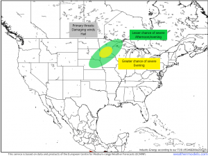
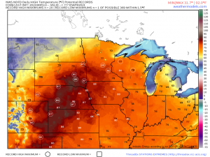
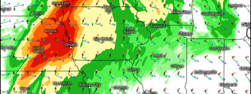
And by heat, I mean record high heat- especially for South Dakota and Nebraska where downsloping winds will assist in drying and warming the atmosphere. So then the better moisture content, modest though it may be, will be located directly east of the low in eastern South Dakota, NE Nebraska, and Minnesota. It is here we see today’s severe threat.
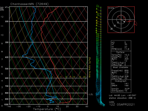
As of this morning, an observed sounding taken from Chanhassen, MN shows a large inversion in place. This inversion, or cap, is expected to persist through the evening and should limit any serious development. Still, near the triple point, the forcing combined with 1000 to 1500 J/kg of CAPE and dew points in the low 50s could be enough to allow a few severe storms to form. Shear is currently weak but expected to strengthen somewhat as the day progresses, though will only top out at about 30 to 40 kts. Thus, while adequate for supercell formation, no tornado threat is mentioned for today due to less-than-favorable conditions. Instead, lapse rates of 8 to 8.5 degrees C mean rather cold air is in place aloft and, should storms with strong updrafts form, hail, potentially damaging, is possible.
(gif) Link
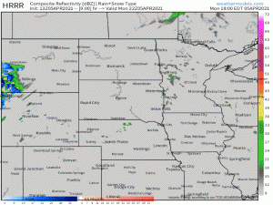
Convection is expected to be generally scattered and cellular at the onset and then evolve into a cluster/more linear mode as it progresses eastward ahead of the cold front. Any severe weather will be more likely to occur in the initial cells, but an embedded supercell within the convective line is always a possibility as well.
Keep in mind that though there is no mentionable tornado risk today, winds inside a severe thunderstorm can sometimes be as damaging as weaker tornadic winds and sheltering during a severe thunderstorm warning is always a good idea. So, have multiple ways to receive warnings and a plan in place should you need it.
We will see this severe threat translate eastward as the week progresses and will be devoting our subsequent blogs to discussing it and the potential threats. Stay tuned!
