Severe Weather Takes Aim at the Southern Plains Today
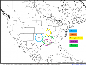
There seems to be no rest for the weary lately as we kick off another week of active weather. The next 5 days all bring some level of a severe threat, some greater than others.
These are the areas we will be watching for development and their corresponding days. Keep in mind, this is approximate and can/will change, especially for the events toward the latter half of the week. There are still some unknowns that need to be hammered out. For now, it’s something to watch and prepare for.
But today we’ll focus on Monday’s event since it is, well, Monday. We’ll turn our attention to the north Texas/southern Oklahoma area as most likely to see severe weather later on.
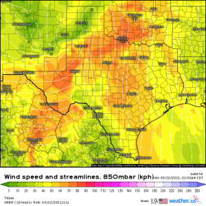
An area of energy will descend the Rockies this morning and is expected to undergo cyclogenesis by later this afternoon. As it gets itself together, the increasing southerly flow in the warm sector will bring in the moisture needed to fire off severe weather. This won’t be a long-fused flow and the moisture return is somewhat limited and therefore likely won’t be capable of enabling significant, widespread destabilization.
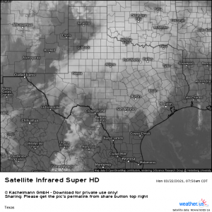
Conditions in N TX/S OK right now are fairly stable with temperatures in the mid 50s, dewpoints in the upper 40s, low, stratiform cloud cover, and scattered rain. Since the southerly flow doesn’t really kick off in earnest until this afternoon, we will need a little assistance from daytime insolation to see anything beyond relatively marginal destabilization.
If the clearing over Amarillo/Clovis can persist and move east, we may get a boost to the instability.
We will be watching for initiation along the dryline as we move into the evening hours.
A convective line will form ahead of the cold front and sweep east. The possibility exists for scattered cells to form ahead of the line, should sufficient destabilization occur – for example, if we get enough (persistent) breaks in the cloud cover for daytime heating to do its thing. Therefore, this is obviously a bit conditional, contingent on heating.
The tornado threat attached to this event is also somewhat conditional. With CAPE between 500-1000 J/kg, weaker shear of 30 to 40 kts, and lapse rates approaching 8 degrees C per km in places, some damaging wind gusts and large hail are the more likely threats at the moment, though a tornado or two can’t be completely ruled out. Regardless, have multiple ways to receive warnings and plan to take shelter should a warning be issued. Some of this activity will persist into the after dark hours, so be sure warnings will wake you if need be.
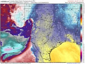
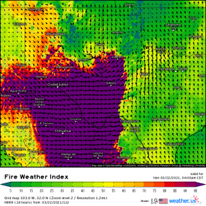
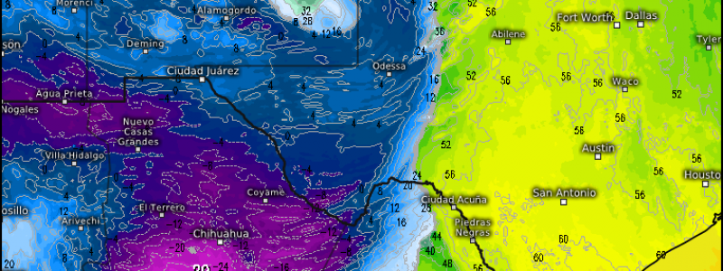
One additional thing to mention: upstream of the severe threat, if you’ll turn your attention to the map of the dew points above, you’ll notice an area of very dry air. This dry air combined with downsloping, gusty winds and very dry vegetation leads to a critical fire risk today for SW Texas and S New Mexico.
These areas are both in either extreme or exceptional drought. It more or less goes without saying but, if you reside here, refrain from any activities that may spark a fire. Tell your friends, tell your neighbors. With the conditions I mentioned above, it won’t take much for a rapid spread of wildfire.
That wraps up today’s threats. We’ll keep you updated on the remainder of the week as we approach each event. Stay safe!
