Polar Air to Invade the Northeast
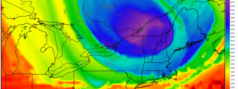
Though today is the first day of meteorological spring, it feels much like the winter it still technically is. Frontal passage in the southeast has caused temperatures to plummet from the pleasant 70s to the chilly, gray 50s. But the northeast gets the short end of the stick later tonight as a lobe of polar air swings through.
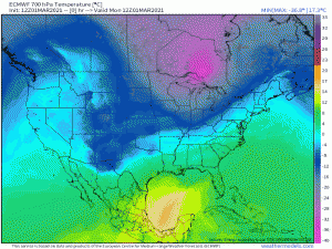
This bowling ball of cold air slides east and, by tomorrow morning, temperatures will be 15 to 25 degrees below average over a decent portion of this region. The cold air will be compounded by gusty pressure gradient winds as the northeast is squeezed between a deepening low in the Gulf of St. Lawrence and a strong high over the Ohio Valley. Simply put: it’s not only going to be cold, it will feel near-arctic, especially in the elevations.
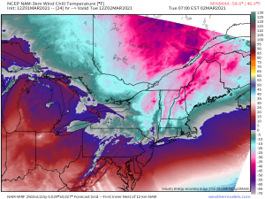
With the exception of locations not too far from the Mason-Dixon line, the entirety of the northeast is expected to experience wind chills at or below zero tomorrow morning. This will be a dangerous cold, especially the further north you travel. With actual temperatures in the teens and single digits and wind speeds gusting to 40 mph or more, frostbite can occur in as little as 30 minutes. If you need to be out and about in the morning, take precautions and cover your skin. Do your best to limit your exposure as much as possible.
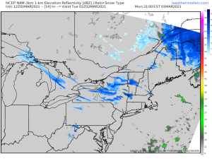
To add insult to injury, unless you’re a rare person that actually enjoys continued winter in March, the northwest flow behind the departing low will kick off some more or less light lake effect snow tonight. Generally, accumulations look to be in the 1 to 3 inch range, though higher totals will be possible with persistent banding and, of, course, in any elevations.
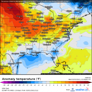
Thankfully, this isn’t a long-duration cold outbreak. Temperatures will moderate and return to normal, or even above-normal by later Wednesday afternoon.
Head home tonight, light a fire in the fireplace, make some hot chocolate, and just make it through the next 36 to 48 hours. Warmer days are coming! Stay safe and warm.
