A Windy and Wet Monday Ahead for the West Coast
After a week or more spent on the historic weather unfolding in the central and eastern US, the pattern has finally relaxed enough that we can talk about the part of the country we’ve neglected these past 10 days or so: the West. We have two separate, interesting events to look at today. First- an unfolding high wind event in the northern tier. Second- an atmospheric river event in the Pacific Northwest. So, let’s take a look!
High Wind Event
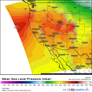
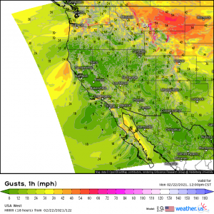
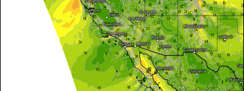
The northern tier is being squeezed between an area of high pressure to the southwest and an area of low pressure to the northeast. The tightening pressure gradient is producing some very gusty winds. These winds are expected to lessen this afternoon but then re-strengthen and persist through early tomorrow morning, making this a relatively long-duration wind event.
Gusts of up to/over 75 mph are possible, especially over elevated terrain. In northwestern Montana, where these winds coincide with snow, a blizzard warning has been issued through tomorrow afternoon for elevations above 4,500 ft. Heavy snowfall combined with the winds will likely reduce visibility to near zero, so travel is not advised. In the lower elevations, tree damage and scattered power outages are possible as the winds could take down lines, branches, or even whole trees if they are unstable enough.
Atmospheric River
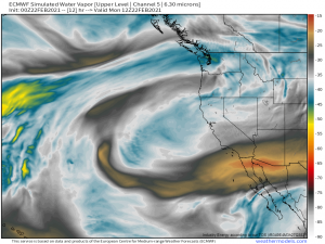
Though not particularly intense or long-duration, an atmospheric river is directing its firehose-like stream of moisture at the Pacific Northwest this morning. This really will only last through late today before an upper level disturbance swings in tomorrow to replace it. However, while it’s here, it will do it’s best to soak the northwest.
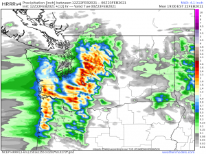
The immediate coast is looking at totals approaching an inch in the next 12 hours or so while the elevations, with the aid of orographic lifting, could pick up over 2 inches of rain in the same time period. Of course, in the elevations of the Cascades, this will fall as snow. The mountains could approach snowfall totals of 18 inches on the highest peaks.
As mentioned, overnight tonight, an upper level disturbance will essentially shove the atmospheric river out of the way and replace it. It will bring moderate rain for the coast and more snow for the mountains. But it also ushers in much colder temperatures.
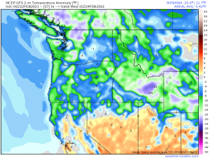
The Pacific Northwest escaped the Arctic blast that gripped the central US last week. This week, they won’t. Y’all didn’t think we’d let you miss out, did you? Everybody gets to shiver this month! It’s hardly comparable, though, as the cold won’t be nearly as intense. Temperatures generally look 5 to 15 degrees below average as opposed to the 40 to 50 degrees below average we saw in the central US last week. Still, cold is cold and many of the higher elevation locations could be looking at morning lows in the single digits or perhaps slightly below zero by Wednesday.
Stay safe and warm!
