Update: Increased Severe Risk 01/25/21
Well, hello again.
Earlier I mentioned the possibility of the risk for severe weather being upgraded if conditions trended toward being more conducive. That has indeed happened and is why I’m writing an extra blog this afternoon.
The SPC has upgraded parts of TN, MS, and AL to a Slight risk.
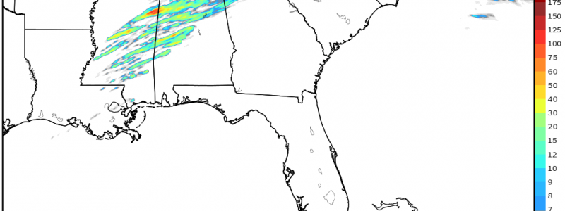
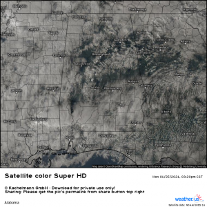
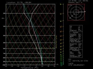
Throughout this afternoon, numerous breaks in the clouds have allowed daytime heating to contribute the increasing destabilization of the environment in these areas. That, along with the forcing the advancing cold front will provide seems to be enough to break the capping inversion I spoke about earlier and allow for the formation of a few severe storms. While this still isn’t expected to be a widespread outbreak, there is now a decent chance for a few supercells to form and spawn a tornado or two.
Thanks to solar heating, temperatures here have soared into the upper 60s to upper 70s while dew points are solidly in the mid 60s.
All this convective energy breaks the cap and sets the stage for tonight’s severe threat which unfortunately will come mostly after dark and into the early morning hours. Without that cap in place, convection is able to rise freely and fuel potentially severe storms.
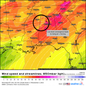
Low level convergence over the defined slight risk area leads to rising air and gives a boost needed to maximize the effect of the instability. It is here that supercells have the highest odds of forming and thriving. The main window for activity will be in the next few hours. Things should kick off shortly if they’re going to at all. In fact, as I type this, I’m noting a severe thunderstorm warning for a cell with apparent rotation near Memphis. The activity will perpetuate eastward this evening and then taper off after midnight as the environment becomes less conducive.
Since conditions deteriorated rather rapidly and somewhat unexpectedly, many people may not be prepared for the caliber of weather they may face tonight. Do me a favor and if you’re reading this and live in the risk area: warn everyone you know and have your weather radio properly programmed and a plan to shelter ready to go. If you know people that live in these areas, call them and alert them. These “surprise” events (by surprise I mean events that materialize or escalate suddenly) tend to see the most storm-related injuries as people are just not prepared. The Tennessee outbreak of March 2 and 3 2020 comes to mind. That was a situation that escalated quickly and the general public was wholly unprepared. Am I saying this is the same situation? No. But nonetheless, be prepared for any outcome tonight. Sudden, strong tornadoes can come from set ups like this without much warning.
We will continue to update this blog this evening if conditions intensify further. Stay safe!!


