A Beneficial Soaking for Parts of the West Coast Today
Good morning! I hope everyone had a wonderful holiday season. Just like the rest of y’all, we’re back at it this week talking about the weather.
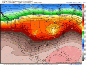
An active pattern looks to stay in place over the US for at least the next week.
(gif) Link
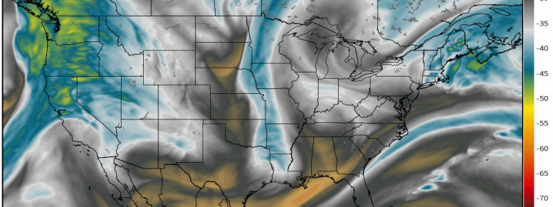
Wave after wave from the Pacific Wave Train rolls through bringing us a variety of weather. But it is the Pacific Northwest that receives these waves first as they roll in off the ocean and, boy, they will really be taking a beating early this week from the first one. The incoming weather is all thanks to a rather strong Aleutian Low.
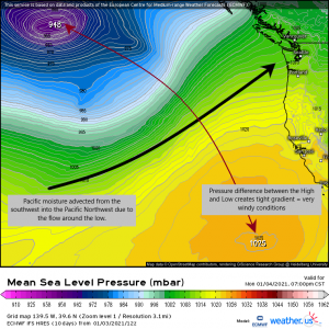
The Aleutian Low, for those who don’t know, is a semi-permanent low pressure system located near the Aleutian Islands of Alaska. It is one of the largest atmospheric circulations in the Northern Hemisphere. A strong Aleutian Low has a heavy impact on the weather for the US during the winter.
As the low pushes a little further south than “normal,” the counter-clockwise circulation around it funnels Pacific moisture into the western US, usually the Pacific Northwest. But as it nudges even further southeast today in response to a building ridge over the Rockies, parts of Oregon and Northern California will reap the benefits as well.
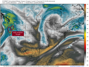
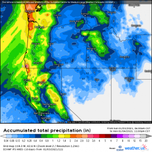
This atmospheric river will bathe the northern/central West Coast in beneficial rain. Though the far northern areas have seen more than enough rain recently, parts of Oregon and northern California are still in extreme drought and in sore need of the moisture they will see today.
By the end of the day today, some areas currently in extreme drought could pick up between 1 and 2 inches of rain. Though it’s not a drought-buster by any means, it’s a solid step in that direction. The moisture will also lift into the mountains, providing a decent snowfall and adding to the snow pack essential for the meltwater it will provide during the spring thaw.
The much-needed rainfall is short lived though as after today, the Pacific High will build back in northward, forcing the Aleutian Low north as well and cutting off the firehose of moisture to the mid West Coast.
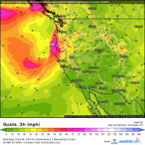
As I mentioned in the second graphic above, the winds will also be roaring at times throughout the Pacific Northwest.
The tightening pressure gradient between the Aleutian Low and the Pacific High brings damaging wind gusts to the immediate coastal areas and, of course, the higher terrain of the Cascades and Sierra Nevada.
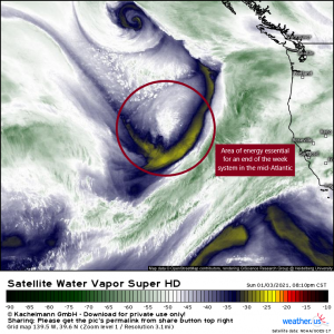
This incoming wave brings with it a key piece essential for the formation of a system set to (possibly) impact the mid-Atlantic by week’s end.
I’m not going to focus on this today as there is still much we don’t know. But for now: the mode of precipitation is still unclear, though potential exists for wintry weather across parts of Tennessee, North Carolina, and Virginia. Once the energy is ashore and we are able to sample the environment via radiosonde, the threat will become a bit more clear. We will be watching this as the week progresses and updating you via the blog and Twitter as needed.
Wishing y’all a fantastic day!
