Looking Ahead to Our Next Weather-Maker
Good evening!
I’m a little late tonight with my blog but since there really isn’t much going on… well, there’s just not too much to say today.
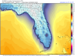
The biggest news this evening is that interior Florida, all the way down to the lower extent of I-75, is under a frost advisory. Temperatures will fall into the 30’s tonight and even below freezing in the northern, interior part of the state.
Watch out for falling iguanas. Temperatures this cold basically make their bodies slow down so much that they cease to function. If that happens when they’re in a tree, well, what goes up must come down. They appear to be dead but in reality they are just stunned. They’ll start moving again once they warm up. Don’t let your dogs use them as a chew toy.
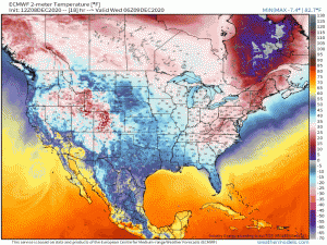
After this final cold blast tonight, the temperatures begin to rebound somewhat.
(gif)
By the weekend, we see 60’s creeping back into the southern extent of the Northeast. The weather will also remain quiet until the latter half of the week.
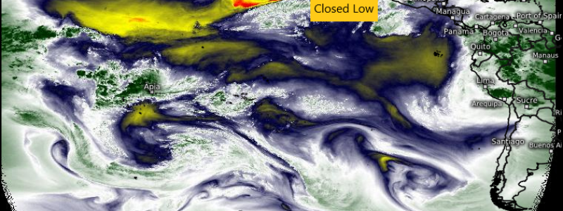
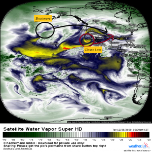
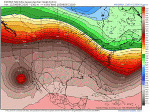
Our next weather-maker will be in the form of a cut-off low currently chilling off the the southern California coast and a shortwave trough in the Pacific.
These two features are expected to phase over the western US toward the end of the week and provide our next system.
The rate at which they phase and how well they phase will determine the intensity and timing of the system. The models (mainly the ECMWF and the GFS) have not reached an agreement on either track or intensity just yet.
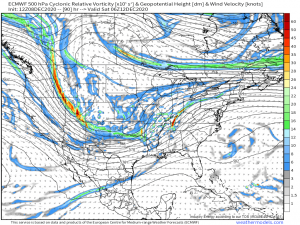
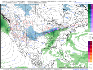
The ECMWF…
…Completes the phase and develops a stronger system with a center over the midwest by Saturday. Effects are fairly widespread with a large precipitation shield covering a good portion of the country. It also develops a secondary system over the southeast by Monday (the GF doesn’t) but it’s a little bit of a bizarre situation so we’ll wait a few more model runs before we think about discussing that one.
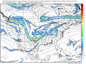
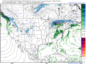
The GFS…
…phases (not quite as well) and develops a weaker system centered over the Great Lakes in the same time frame. Much less moisture is attached to this scenario and effects aren’t quite as widespread.
We still have a severe threat to consider as well. Should the ECMWF scenario play out, the phase would happen slower, developing a stronger system which would pull more moisture and possibly set the stage for a severe threat somewhere along the way. Details on where and what modes of weather would be possible are still up in the air as it is not clear which version we’ll be dealing with. I would imagine we will have a better idea in a day or so as models come into agreement a bit more, hopefully.
That’s really all I have for you tonight. Go forth and enjoy the quiet, warming weather for the next two to three days before an active pattern returns!
We will, as always, keep you updated via this blog and Twitter! Have a wonderful evening.


Thanks Meghan!