Severe Threat for 11/24/20
Good evening!
This will be a short post since there isn’t much going on tonight other than the severe threat beginning tomorrow. Jacob has analyzed the event in detail here if you’re interested in the processes involved.
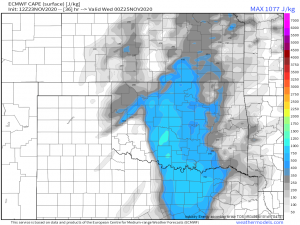
I’m mainly just writing tonight to say we are indeed on track for a possible severe outbreak across the southern plains and Ozarks tomorrow afternoon and evening. The SPC has defined a slight risk across the interior of Oklahoma. The main threats outlined are large hail and damaging winds. Tornadoes aren’t totally out of the question but as this is a high shear, low CAPE event, they are less likely.
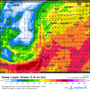
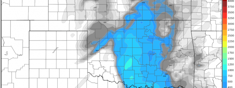
Typically, CAPE (Convective Available Potential Energy, also known as storm fuel) values of 1500 J/kg or higher are needed for tornadoes to form in supercells. We just won’t be seeing those numbers tomorrow. However, the shear is high…
(link: https://weather.us/model-charts/euro/982-w-373-n/deep-layer-shear/20201125-0000z.html)
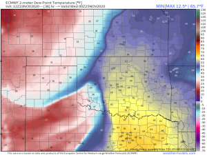
..and more than sufficient for a few supercells to form ahead of a dry line as the instability enters a moisture-rich area over Oklahoma.
You can clearly see the division between the ultra-dry environment behind the dry line with dew points in the 20s and 30s and the moisture-rich environment over Oklahoma and Texas with dew points pushing the mid-60s in places.
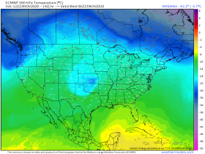
So we have the bare essentials for severe storms, just not quite what we need for tornadoes. The SPC mentions a risk of large hail mainly due to enhanced cooling at the 500 mb level…
…where temperatures are approaching -20 degrees Celsius over Oklahoma and Kansas. Any precipitation in these supercells will undoubtedly start as ice and with strong enough updrafts, could be carried up through the clouds a few times before failing as large hail.
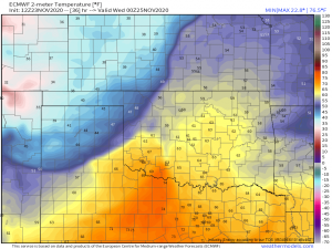
Damaging winds are also a concern, not only from the storms themselves, but purely from the temperature gradient associated with the surface cyclone.
A temperature difference of ~45 degrees over 200 miles is bound to cause some gusty winds regardless of whether or not a severe storm is involved.
All of this energy will sweep east into Wednesday, sparking a low-end severe threat for the south. I will detail those risks in my blog post tomorrow. As always, Jacob and I will keep you apprised of any changes to the severe threat either here in our blog or through our Twitter/Facebook posts.
Have a wonderful evening!
