Widespread, Severe Weather Threat Likely Today From The Southeast To the Ohio Valley
A day after tornadoes moved through Iowa leaving behind a path of destruction, the threat for severe weather shifts east today to include parts of the Southeast and extending north into the Great Lakes.

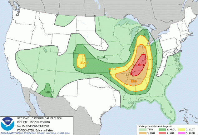
The SPC convective outlook for today has a moderate risk for severe weather outlined across parts of the Tennessee and Ohio Valleys. All modes of severe weather will be possible including the threat of tornadoes.
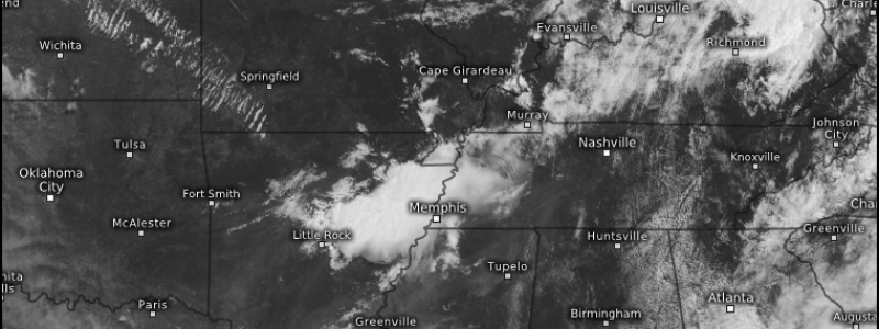
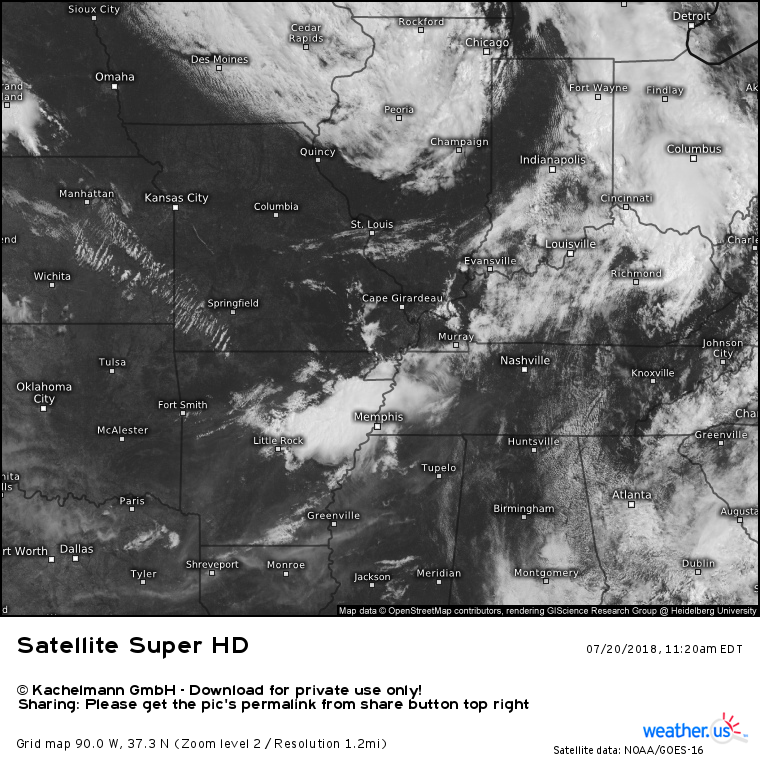
One thing we need to watch closely is how quickly cloud cover and early morning convective episodes (storms) can dissipate giving way to clear skies and daytime heating. Daytime heating is essentially fuel for storms.
We are beginning to see a break in the clouds across the lower Ohio Valley into the Tennessee Valley. This would be supportive of convective instability enhancement through daytime heating.
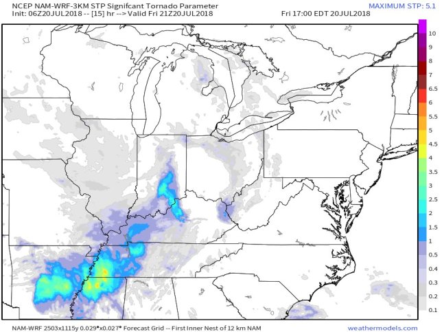
Elevated STP (significant tornado parameter) values suggest that if cloud/convection clearing can occur within in relatively small time window, the tornado threat will increase. Any value of “2” of higher on the STP scale suggests the heightened threat for a strong, violent tornado.

All considered, today could very likely feature widespread, severe weather from the Southeast to the Great Lakes. Monitor your local weather for the latest developments and the National Weather Service.


