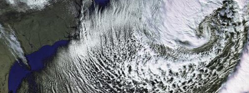
Blockbuster Bomb Cyclone
Blockbuster Bomb Nor’easter ready to roar along the U.S. East Coast into Maritime Canada with major impacts from Florida to New England and Canada.
Forecaster Jack Sillin has a fantastic blog on the synoptic scale ingredients associated with the storm here: Major Storm To Develop Off The East Coast Bringing Snow, Wind, And Cold so I’ll provide some additional thoughts about how to interpret and use a few tools we have here at Weathermodels.com without sacrificing technical detail. The key with any low-pressure system is tracking the central low pressure center or the “eye” of the storm. While this Nor’easter is “non-tropical” or extratropical, as it reaches maturity, it will share some characteristics with its tropical cousins: (1) a low-level central warm-core due to post-frontal warm air trapped by the bent-back warm-front = warm seclusions (2) hurricane force winds on the southern flank or periphery of the seclusion due to the superposition of the potential vorticity (PV) tower and tropopause fold (3) rapid intensification or pressure falls due to fueling of storm via diabatic heating or surface heat and moisture flux exchanges with the ocean surface as well as the upper-level baroclinic processes (jet stream).
The center of low pressure even 48-54 hours prior to the January 4, 2018 18z verification time is still somewhere uncertain probably to 50-100 miles spread around the ensemble mean. The following figures are mean-sea level pressure “ensemble mean” from the ECMWF EPS (12z). The model is initialized from the same starting analysis except for very small perturbations made to generate tiny differences or errors that will grow throughout the forecast. For a storm track like this one or tropical storms & hurricanes, the “spaghetti” or ensemble tracks are shown to highlight the uncertainty in the location of the storm at any given time.


Behind the strong low pressure is a heavy-duty, record cold air mass associated with the #PolarVortex or the tropospheric manifestation of the polar front and air mass with origins from Arctic Canada as well as Greenland. The upper-level flow configuration is like a giant “Omega” or a bell with the curly appendages on the outside being troughs with the ridge in the middle. (see Animated GIF). The jet stream takes on the characteristic S-shape as the cyclone undergoes rapid intensification or “bombs” out along the East Coast. Bombing is simply the rapid decrease or drop in surface barometric pressure of at least 24 millibars in 24 hours and significations intensification or strengthening of the storm system. The jet stream, trough of low pressure and the warm, moist ocean surface provide multiple sources of fuel (diabatic and baroclinic) to transfer the potential energy in the system to kinetic energy or the monster storm.
More on specific impacts such as wind gusts, snowfall – even in Florida and the Carolinas – and other impacts along the New England coastline in my next update.
— Ryan


