99L: Our Next Shot at Tropical Development
As the Atlantic Basin still shows no real signs of development, at least for the moment, we once again turn our eyes to a tropical wave a bit closer to home.
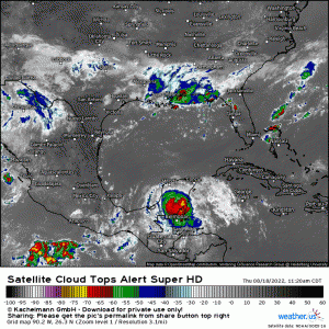
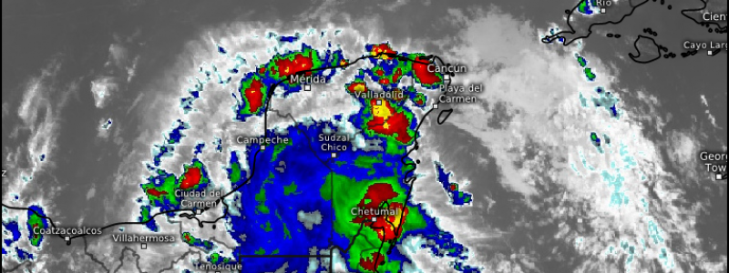
The aforementioned wave, now dubbed Invest 99L, is currently crossing the Yucatan Peninsula. It was displaying some solid convection up until a few hours ago. Convection then waned as it interacted with land but is now firing up again as part of the disturbance moves back over water. In fact, it seems to have a fairly decent mid-level center.
The part of the Yucatan that the wave is moving over isn’t particularly mountainous. It is expected to survive its brief vacation on land and emerge fully into the Bay of Campeche sometime tomorrow.
Could we see development? Let’s take a look at what conditions await our disturbance.
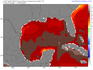
Very warm water is nearly a given. As discussed in a previous blog, these waters have remained nearly untapped so far this season. No issues here.
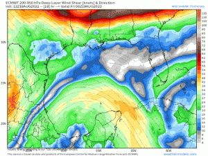
Shear could potentially be an issue. Some fairly moderate shear is forecast as the wave emerges over water. As a general rule, TCs can withstand shear up to about 20 kts before it starts interfering with their stacked circulation, or preventing development if there is no pre-existing structure.
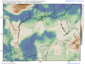
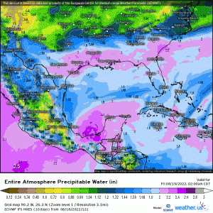
Dry air also has the potential to be an issue. We can clearly see the moist envelope of this disturbance on the map above, but notice air with lower relative humidity trying to wrap into the circulation from the southeast. Should this scenario play out, it could put the breaks on development.
As with the few close-to-home disturbances we’ve seen this year, this one will be emerging and tracking very close to land. So the question is: how long can it remain over water?
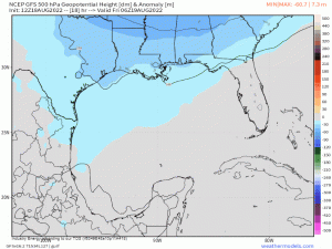
Probably not very long. High pressure expanding westward will force this wave toward the eastern Mexican coast, severely limiting its time in the warm waters of the Gulf. If it is going to develop, its going to need to do it quickly.
Can that happen? It’s possible. As mentioned, it has developed a mid-level center already. We’ll need the dry air to remain outside of the circulation and shear to remain on the lighter side. As we’ve seen in recent years especially, that ultra-warm water can help disturbances overcome otherwise slightly unfavorable conditions. But it will need to act quickly.
As usual, regardless of development, these disturbances bring quite a bit of tropical moisture with them and are capable of very heavy rain.
Flash flooding could become an issue, especially if it manages to interact at all with the mountainous interior of Mexico. Orographic lift could enhance rainfall totals.
Something else that isn’t dependent on development: the moisture that comes ashore will play a part in the forecast for some of the Southern US in the upcoming week. But more on that in tomorrow’s blog.
